Calumet Harbor
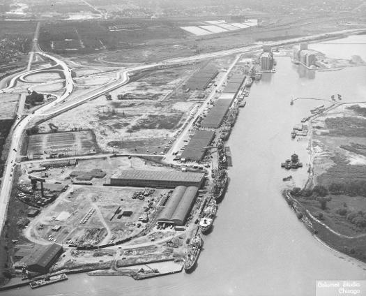
Calumet Harbor became a world port in 1959, with the opening of the St. Lawrence Seaway. Large, oceanworthy ships could use the updated Calumet Harbor.
See also: Calumet Region
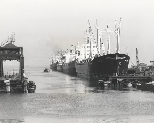
Transoceanic Terminal near the entrance to Calumet River, 1973. Improvements to the Calumet Harbor made it the premier port in the region.
See also: Economic Geography
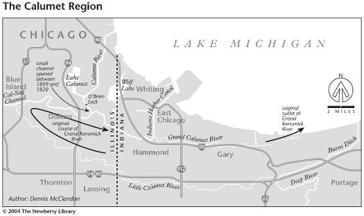
Politicians who established the Illinois-Indiana boundary showed no regard for the beach-ridge controlled geography of the Grand Calumet and Little Calumet rivers, nor have later engineers and businessmen intent on industrializing their watershed. The natural courses of drainage have been thoroughly redesigned for urban and industrial convenience.
See also: Calumet Region; Water
The Encyclopedia of Chicago © 2004 The Newberry Library. All Rights Reserved. Portions are copyrighted by other institutions and individuals. Additional information on copyright and permissions.